The New York Times, July 11, 1915, p.6:
SOUTHWEST AFRICA HAS GREAT PROMISE.British See Great Possibilities in
Immense Territory Now Wrested From Germany.
MINERAL SOURCES RICH
May Become One of the Finest Ranch Countries in the World--
Agricultural Outlook Good.
Much speculation has been indulged in as to the value as a possession of the immense territory of German Southwest Africa, wrested by the Union of South Africa forces from the Germans, who had occupied it since May, 1883. Six times the size of England, being about 322,450 square miles in area, and including Ovamboland, Damaraland, and Great Namaqualand, and sparsely populated, it has been described as a wilderness, with a fertile tract only here and there.
A South African authority described recently in the Cape Times its dominant physical features as follows:
A slowly rising, sandy coast belt; a high interior plateau, broken by isolated mountain ranges and stony kopjes, and a gently falling eastern strip of sandy country which merges in the level expanse of the Kalahari Desert. The average height of the uplands is about 5,000 feet. The climate on the whole is healthful and eminently suited for Europeans, though malarial fever is prevalent in the sub-tropical north. Before the war it supported a white population of 14,830 people, with some 250,000 natives...
The mineral wealth has been the most considerable source of prosperity since 1908, and it is certain to be an important factor in the future development of the country. The diamond fields form a rich treasure house, and immense quantities of the precious "stones of fire" still lie in the sands of the Namib. The fields extend from Conception Bay (100 miles south of Swakopmund) to Angras Juntas, a distance of about 260 miles, but they are intersected in many places by hills and ridges and tracts of worthless sand. The various producing companies, the great majority of which are German, hold a fifty years' lease from the German Colonial Company, and together before the war broke out they employed about 5,000 natives and colored men. From 1908 to the end of 1913 gems to the value of $35,522,000 had been recovered.
How long will these fields last? The experts differ, as, owing to the vast extent of the country over which the diamondiferous gravel is scattered and the varying depths of the deposits, it is extremely difficult to estimate the life of the fields. The period has been variously put at eight, fifteen, and twenty years. New deposits may be discovered, although extensive prospecting operations have not resulted in any finds for some time. Volcanic "pipes" containing the well-known Kimberlite have been found in the Gibeon, Bethany, and Keetmanshoop districts, but careful tests have shown them to be barren of diamonds.
|
Dr. Versfeld, who has given some attention to the geological problems of Southwest Africa, ventures to affirm the discovery of diamond-bearing pipes "considerably nearer to the Luderitzbucht deposits than those at present known seems well within the bounds of probability." Dr. Wagner, the well-known South African mining authority, states in his Diamond Mines of Southern Africa that the "primary deposit, or primary deposits, lie buried beneath the sea somewhere off Pomona." At the same time he says that "a long and prosperous career may confidently be predicted for the industry" in Southwest Africa.
Next to the diamond fields the copper mines rank in importance. The value of the copper exported in 1913 was $1,982,180. In the opinion of experts, there is no doubt that the country will supply copper and copper ores in increasing quantities for many years to come.
Prospecting work has been done in connection with gold, tin, iron, lead, sulphur, &c., but the results have been somewhat disappointing, although immense deposits of iron and tin ores are known to exist. A seam of coal has been found, and the Germans had begun to exploit immense layers of white and colored marble of excellent quality.
Pasture Land of Great Value.
The second source of wealth in the territory is the pasture land. Dr. William Macdonald, the South African agricultural expert, who visited the colony a couple of years ago, described it as a land of enormous agricultural possibilities, destined to become one of the finest ranch countries in the world.
Dr. Rohrbach, the German Imperial Emigration Commissioner and a well-known writer on economics, wrote about it as follows:
From the Orange River in the south to the Kunene in the north, and from the Namib in the west to the Kalahari in the east, its vegetation and conformation are those of a sub-tropical steppe and grazing country, which is marked out by Nature herself for cattle raising.
|
Dr. Rohrbach estimated the grazing land to be equal in area to that of the German Empire in Europe and capable of carrying 3,000,000 head of cattle and 2,000,000 sheep and goats, and believed that the land would be able to maintain a population of several hundred thousand European settlers.
However this may be, the big land companies there have made little or no effort to attract settlers. Only 1,330 farms were in private hands in 1913, and 193 of these were lying idle. When the war broke out a census showed that the country carried 205,643 head of cattle, 543,447 sheep, 516,904 goats, 15,916 horses, and 13,618 mules and donkeys. It is prophesied that a big future lies before the country as an exporter of meat, hides, wool, and karakul fur. It is pointed out that as Walvis Bay is comparatively near to Europe, with a direct steamship service to British ports, a lucrative industry can be established in frozen cattle and sheep.
Its Agricultural Possibilities.
As to the agricultural lands, the 1,330 farms mentioned above comprise an area of 33,484,015 acres. but of this huge area only 13,000 are actually under cultivation. This is ascribed to the sandy nature of the soil and the dryness of the climate. Four-tenths of the cultivated land is in the well-watered Grootfontein district, while another three-tenths is in the Windhuk district.
Mealies, potatoes, lucerne, melons, vegetables, grapes, and tobacco are the principle articles grown. Much might be done by improved methods of farming and by means of irrigation, since the land is quite fertile.
The Germans had planned a great scheme of irrigation. The Landserat, as a beginning, made provision in the Supplementary Estimates for 1913-14 for extensive schemes in connection with the Fish River. Huge resevoirs were to have been constructed, with an indefinite number of minor works such as dams and weirs, and great benefits were expected from these measures. Until such schemes are carried out agriculture will continue to play a very subordinate part in Southwest African industry.
Development of the territory heretofore has been hampered by a dearth of capital and official restrictions, for the Government policy of settling the land has been characterized by a vigorous application of the principle of Germanization. British occupation of the country surely will lead to far more rapid development with an influx of capital, especially for exploiting its mining possibilities.
When the First Europeans Landed.
It is interesting to recall in connection with the conquest of this immense territory that it was on the shores of the Bay of Bartholomew that in 1846 the Portuguese explorer Diaz effected the first recorded European landing on African soil south of the Equator. He set up a marble cross on a prominent spur on the south side of the bay, which in consequence bears the name Pedestal Point, though the cross has long since been removed. But it appears to have stood undisturbed for three centuries. In 1825 it was still there, but broken. Apparently it was still seen from the sea in 1844, for Morell, writing in that year, describes Pedestal Point as "a high bluff point rendered conspicuous by a marble cross erected on the summit in 1486 by Bartholomew Diaz." Pieces are now at Lisbon, and a fragment in the South African Museum; the rest has disappeared.
Diaz named the bay Angra dos Ilheos--the bay of the islets--with reference to the chain of islands which make it almost land-locked. This name soon gave place to Angra Pequena--the little bay--by which it was generally known until the German occupation. Since that time the bay has been officially called Luderitzbucht, in honor of the merchant Luderitz, to whom its occupation was immediately due. It is extremely likely that under the British regime its former name of Angra Pequena will be restored.
|
Note: It is still called Lüderitz Bay.
| | |
see also: Angola News - Zambia - South Africa - Zimbabwe
|
|
All of Namibia is
one time zone at GMT+1,
with DST from 1st Sep Sun to 1st Apr Sun.
|
Namibia News
South Africa occupied the German colony of South-West Africa during World War I and administered it as a mandate until after World War II, when it annexed the territory.
In 1966 the Marxist South-West Africa People's Organization (SWAPO) guerrilla group launched a war of independence for the area that was soon named Namibia, but it was not until 1988 that South Africa agreed to end its administration in accordance with a UN peace plan for the entire region.
Namibia gained independence in 1990 and has been governed by SWAPO since, though the party has dropped much of its Marxist ideology.
President Hage GEINGOB was elected in 2014 in a landslide victory, replacing Hifikepunye POHAMBA who stepped down after serving two terms. SWAPO retained its parliamentary super majority in the 2014 elections. In 2019 elections, GEINGOB was reelected but by a substantially reduced majority and SWAPO narrowly lost its super majority in parliament.
CIA World Factbook: Namibia
Area of Namibia:
825,418 sq km
slightly more than half the size of Alaska
Population of Namibia:
2,777,232 (2023) | 2,055,080 (2007)
Languages of Namibia:
English 7% official
Afrikaans majority, incl. 60% of whites
German 32%
Oshivambo, Herero, Nama indigenous
Namibia Capital:
Windhoek Google sat photo
WINDHOEK WEATHER
Namibia Reference Articles and Links
Wikipedia: Namibia - History of Namibia
BBC Country Profile: Namibia
US State Department: Namibia Profile
Maps of Namibia
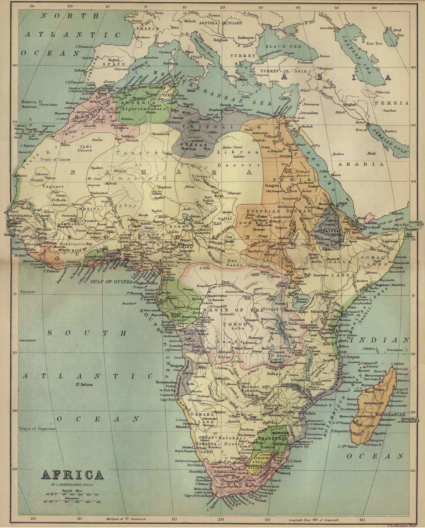
Historic Maps of Africa
1885 Map of Africa
Namibia Embassy, Washington D.C.
WikiTravel: Namibia
Namibia News Websites
The Namibian
NAMPA: Namibia Press Agency
ABYZ: Namibia News Links
|