ERITREA: A Red Sea Italian Colony of Increasing Interest to American Commerce
US DEPARTMENT OF COMMERCE SPECIAL CONSULAR REPORTSNo. 82, 1920
The Italian colony of Eritrea has recently become an important factor in Red Sea trade, and its promising future in the commerce of this district gives a definite and timely interest to a discussion of its possibilities both as an import and as an export market. Indications are that the Eritrean port of Massaua will be the principal port for the rich trade of northern Abyssinia and the entrepot for an important trade with the Arabian Red district. A great deal about Eritrea has been written and published in the Italian language, but it does not appear that there has been any reasonably comprehensive discussion in English of the commercial possibilities of the colony. This report is based upon personal investigations conducted by the Aden consulate, supplemented by statistical and other data made available by the progressive Government of Eritrea.
Eritreas position in Red Sea trade has been overshadowed by the earlier commercial recognition of the territories of Sudan, Abyssinia, and French Somaliland, which surround it on the land sides, and of the leading Red Sea port of Aden. It has therefore remained in an obscurity which kept it from the direct notice of world commercial influences that would have done much to develop its economic possibilities.
Fortunately, the enterprising and energetic Italian officials of the colony have had faith in its ultimate importance as a factor in Red Sea commerce, and have succeeded in bringing about a sixfold increase in the total annual value of the colonys trade during the comparatively short period of 10 years ending with 1918. This remarkable result has lifted Eritrea from commercial obscurity, and demands for the colony the attention and interest of world traders, and particularly of those who are interested in Red Sea trade.
Taken alone, Eritrea has comparatively few possibilities of great importance to world trade, but as a base for northern Abyssinian and Red Sea Arabian coast trade it has decidedly important possibilities...
LOCATION AND AREA OF ERITREA.
The founding of the Italian colony of Eritrea was suggested by the opening of the Suez Canal and its bearing upon the development of Red Sea commerce. A pioneer Italian trading company, with the encouragement of the Italian Government, established itself in 1869 at Assab, on the African coast almost opposite Mocha. This company ceded its rights to the Government in 1882, and from the Assab territory there rapidly developed by treaty and conquest a colony including what had been Egyptian and Abyssinian territory. It lies approximately between the thirteenth and eighteenth degrees of north latitude and the thirty-sixth and forty-third degrees of east longitude. The Red Sea coast line of the colony, from Ras Casar to Ras Dumeira, has a length of about 670 miles. Sudan territory bounds the colony on the north and west, Abyssinia and French Somaliland bound it on the south, and the Red Sea forms its eastern boundary. Eritrea is a triangular-shaped territory. Its greatest depth from the coast inland, at the fifteenth degree of north latitude, is nearly 300 miles. The area of the colony is about 90,000 square miles, or nearly the area of Italy without Sicily and Sardinia.
TOPOGRAPHY, CLIMATE, AND RAINFALL.
The vast and mountainous plateau of Abyssinia narrows and extends north into Eritrea, descending on one side to the hot and desert Red Sea coastal plain and on the other to the Sudan. This plateau extends almost the entire length of Eritrea and is the most habitable part of the colony. The mean altitude of the plateau is about 7,500 feet, but some of the mountain peaks rise to more than 9,000 feet above sea level.
There are many deep valleys or canyons cutting the plateau which offer diffculties to the construction of transportation highways, but which, on the other hand, provide some very favorable locations for agricultural enterprise.
Eritea has no navigable rivers, but a number of small streams rise in the plateau, some of which discharge to the Red Sea and some run in the opposite direction to the Sudan. The largest river of the colony is the Settit, which rises in Abyssinia, flows north and then west, and for some distance forms the Eritreo-Abyssinian boundary. It then passes into the Sudan to join the Atbara or Black Nile. The Gash River is a sizable stream that rises in southern Eritrea and continues its course into the Sudan, where it disappears in the desert beyond Kassala, an important trading center. The Barca River also rises in southern Eritrea and runs northward the entire length of the colony, passing into the Sudan and disappearing in the desert country near Suakim. These three streams have water throughout the year in greater or less quantity and support a good deal of vegetation. The whole central and southern part of the Eritrean plateau is, however, well watered by many small mountain streams.
On some parts of the plateau as much as 20 inches of rain falls during the rainy season from May to October. As the plateau descends on either side the rainfall decreases and on the Red Sea desert littoral it is nowhere greater than 7 inches per annum, and is usually much less. There is a so-called season of small rains in April and May. The big rains are in July and August.
The climate of the Eritrean plateau is very agreeable throughout the year, except possibly during the season of heavjr rains. In the higher plateau the temperature ranges from 50° to 76° F. and in the desert or semidesert lowlands the range is from 59° to 95° F. in general, although in particular places, such as Massaua and Assab, the two Red Sea ports, the hot season on occasions has a temperature as high as 113° F. in the shade. There are extremes of humidity and dryness both in the lowlands and on the plateau. On the plateau strong winds prevail, and they are decidedly cool during the winter season. Light woolen clothing may be and is comfortably worn by many European residents during the greater part of the year on the plateau. Health conditions are reasonably good in all parts of the colony.
CHARACTER OF POPULATION.
The native population of Eritrea is largely nomadic or semino- madic, only the Abyssinian tribes of the central and southern Provinces of the colony living to any extent in settled villages. The population is estimated at 330,000, of whom about 3,000 are Europeans or Levantines. About one-half of the population is made up of nomadic Moslems of Semitic extraction. The principal Moslem tribes are the Dankalis (Somali type) and the Beni Amr (Arabic type)...
ASMARA.
Asmara is the capital of the colony of Eritrea. It is built on the mountainous plateau back from the coast and has an elevation of 7,200 feet above sea level. The climate as a rule is pleasantly cool throughout the year, and many of the Massaua people who desire a change from the oppressive heat of the coast reside at Asmara during a great part of the year. Rainfall is fairly heavy during the summer months. Light woolen clothing can be worn almost throughout the year. On a straight line Asmara is only about 35 miles inland from Massaua, but the railroad that climbs the mountains and connects the two places is 80 miles long.
Asmara has the appearance and many of the facilities of a European town, with well-constructed buildings, banks, shops, hotels, cafes, etc. The streets are broad and well kept and carriages ply for public hire. There is an electric-light plant and a good water supply. There is no newspaper. Modern telephone, telegraph, and postal services are available. Asmara is the residence of the governor of Eritrea. There is only one consulate in Asmara, that of Abyssinia. Neither the United States nor any of the European Governments are represented by consuls. There is a comfortable caravansary for the use of caravans coming in from outlying trade centers and a large market that is active every day of the week. The population of Asmara is about 11,000, of which not less than 10 per cent is European or Levantine. There are no American citizens in Eritrea...
SUMMARY OF ERITREAN INDUSTRIES.
From the foregoing pages it will be noted that Eritrea possesses, in addition to the natural industries of agriculture and stock raising, the beginning or basis, or both, for a substantial development of such industries as meat packing, fish packing, salt manufacture, button making, and flour milling. In addition to the industries that have been directly referred to, there is soap making, which has lately received attention by the establishing of a factory in Asmara. Fats for this industry can be secured from local sources, and only the ingredients of much less bulk, such as resin and caustic soda, will be required from outside sources.
The cities of Massaua and Asmara have electric light plants for public service, and in the first-named place there is an ice factory with a capacity of 15 tons daily and a distilling plant which can supply about 80 tons of water daily when such amount is necessary to supplement the supply of fresh water from natural sources.
At Asmara there is under construction a series of artificial lakes extending from the city a distance of about 10 miles to where there is a precipitous drop toward the coastal plains. The water from the lakes will drain to this point, where a power plant will be built for the production of electric energy from the fall of the water. The water passing from the power plant will be carried down valleys leading to the sea and will serve in the dry season for irrigation of agricultural lands along these valleys. The Asmara hydroelectric plant is expected to develop about 1,000 horsepower.
Eritrea is much more advanced in industrial development than any other political division in the entire Red Sea commercial district...
|
| | |
|
|
All of Eritrea is
one time zone at GMT+3,
with no Daylight Savings time.
|
Eritrea News
State of Eritrea: After independence from Italian colonial control in 1941 and 10 years of British administrative control, the UN established Eritrea as an autonomous region within the Ethiopian federation in 1952.
Ethiopia's full annexation of Eritrea as a province 10 years later sparked a violent 30-year struggle for independence that ended in 1991 with Eritrean rebels defeating government forces.
Eritreans overwhelmingly approved independence in a 1993 referendum. ISAIAS Afwerki has been Eritrea's only president since independence; his rule, particularly since 2001, has been highly autocratic and repressive. His government has created a highly militarized society by pursuing an unpopular program of mandatory conscription into national service divided between military and civilian service of indefinite length.
A two-and-a-half-year border war with Ethiopia that erupted in 1998 ended under UN auspices in December 2000. A subsequent 2007 Eritrea-Ethiopia Boundary Commission (EEBC) demarcation was rejected by Ethiopia. More than a decade of a tense no peace, no war stalemate ended in 2018 after the newly elected Ethiopian prime minister accepted the EEBCs 2007 ruling, and the two countries signed declarations of peace and friendship.
Following the July 2018 peace agreement with Ethiopia, Eritrean leaders engaged in intensive diplomacy around the Horn of Africa, bolstering regional peace, security, and cooperation, as well as brokering rapprochements between governments and opposition groups. In November 2018, the UN Security Council lifted an arms embargo that had been imposed on Eritrea since 2009, after the UN Somalia-Eritrea Monitoring Group reported they had not found evidence of Eritrean support in recent years for Al-Shabaab.
The countrys rapprochement with Ethiopia has led to a steady resumption of economic ties, with increased air transport, trade, tourism, and port activities, but the economy remains agriculture-dependent, and Eritrea is still one of Africas poorest nations.
Despite the country's improved relations with its neighbors, ISAIAS has not let up on repression and conscription and militarization continue.
CIA World Factbook: Eritrea
Area of Eritrea:
121,320 sq km
slightly larger than Pennsylvania
Population of Eritrea:
6,274,796 (2023) | 4,447,307 (2004)
Languages of Eritrea:
Afar, Arabic, Tigre and Kunama, Tigrinya
& other Cushitic languages
Eritrea Capital:
Asmara
ASMARA WEATHER
Eritrea Reference Articles and Links
Wikipedia: Eritrea - History of Eritrea
BBC Country Profile: Eritrea
US State Department: Eritrea Profile
Maps of Eritrea
Historic Maps of Africa
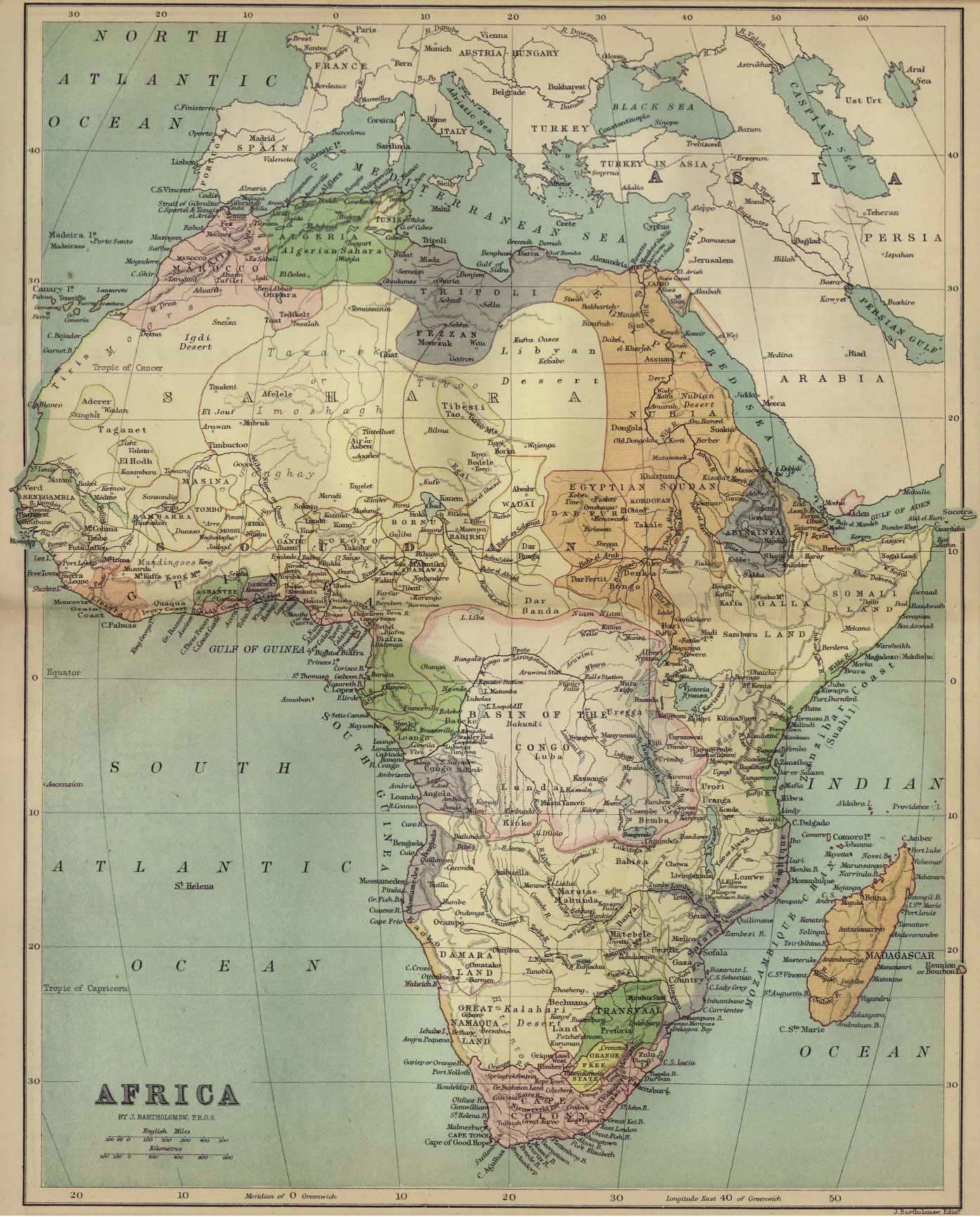
1885 Map of Africa
WikiTravel: Eritrea
Eritrea News Websites
ABYZ: Eritrea News Links
|